
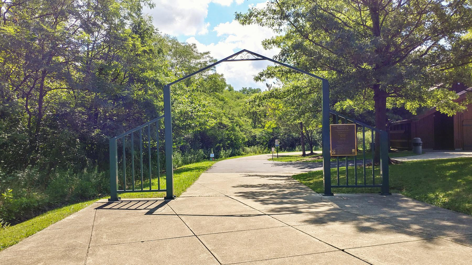
The Days Dam waterfall runs throughout the year and is easily accessed from the Days Dam parking area at Black River Reservation. From the parking lot follow the Bridgeway Trail southeast beginning under the arch,
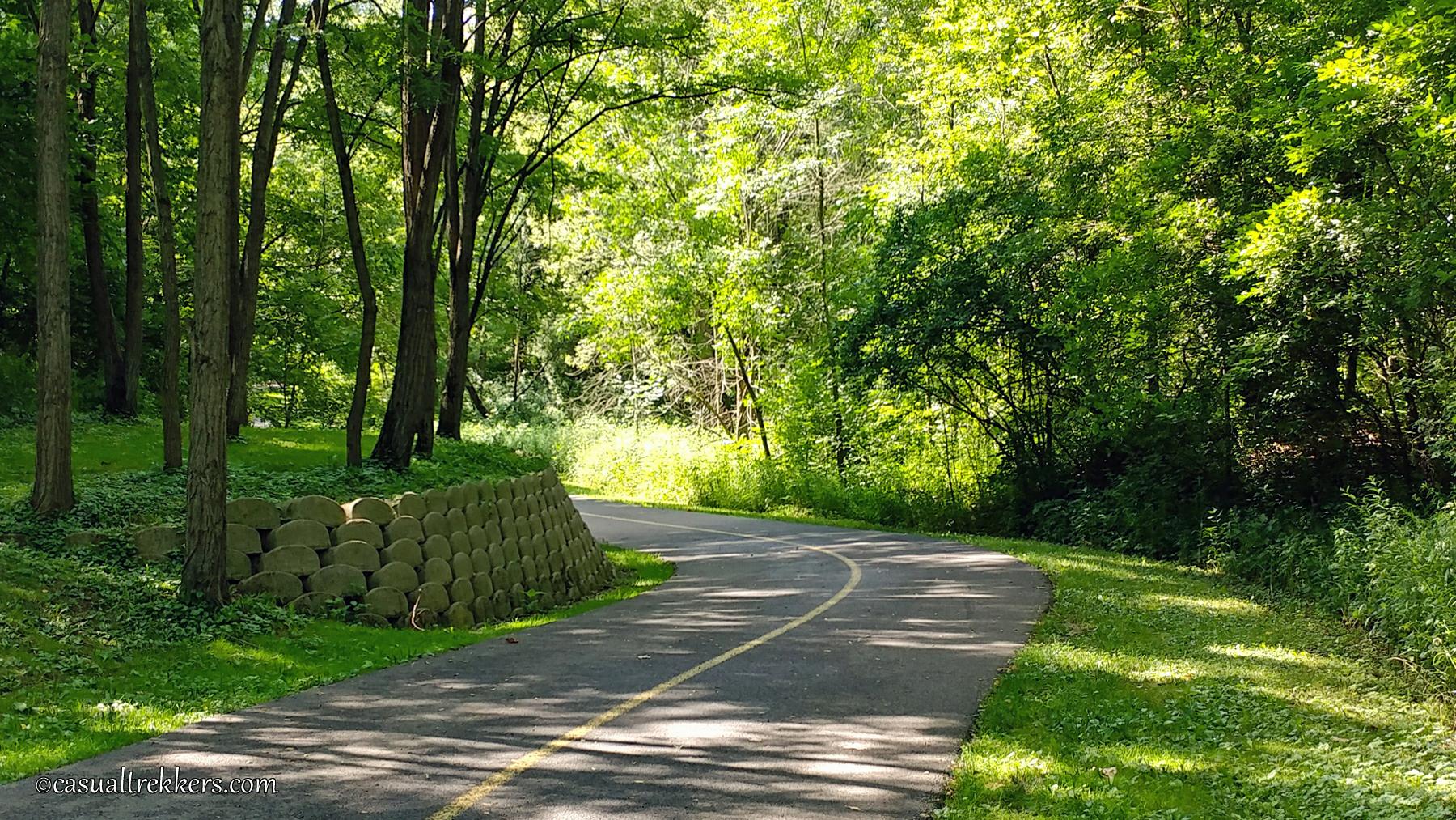
The Bridgeway Trail is paved and shared with walkers, runners and bikers. The trail leads down into a valley through the trees where you will pass the Cottonwood Trail along the way featuring some of the oldest and largest trees in Lorain County.
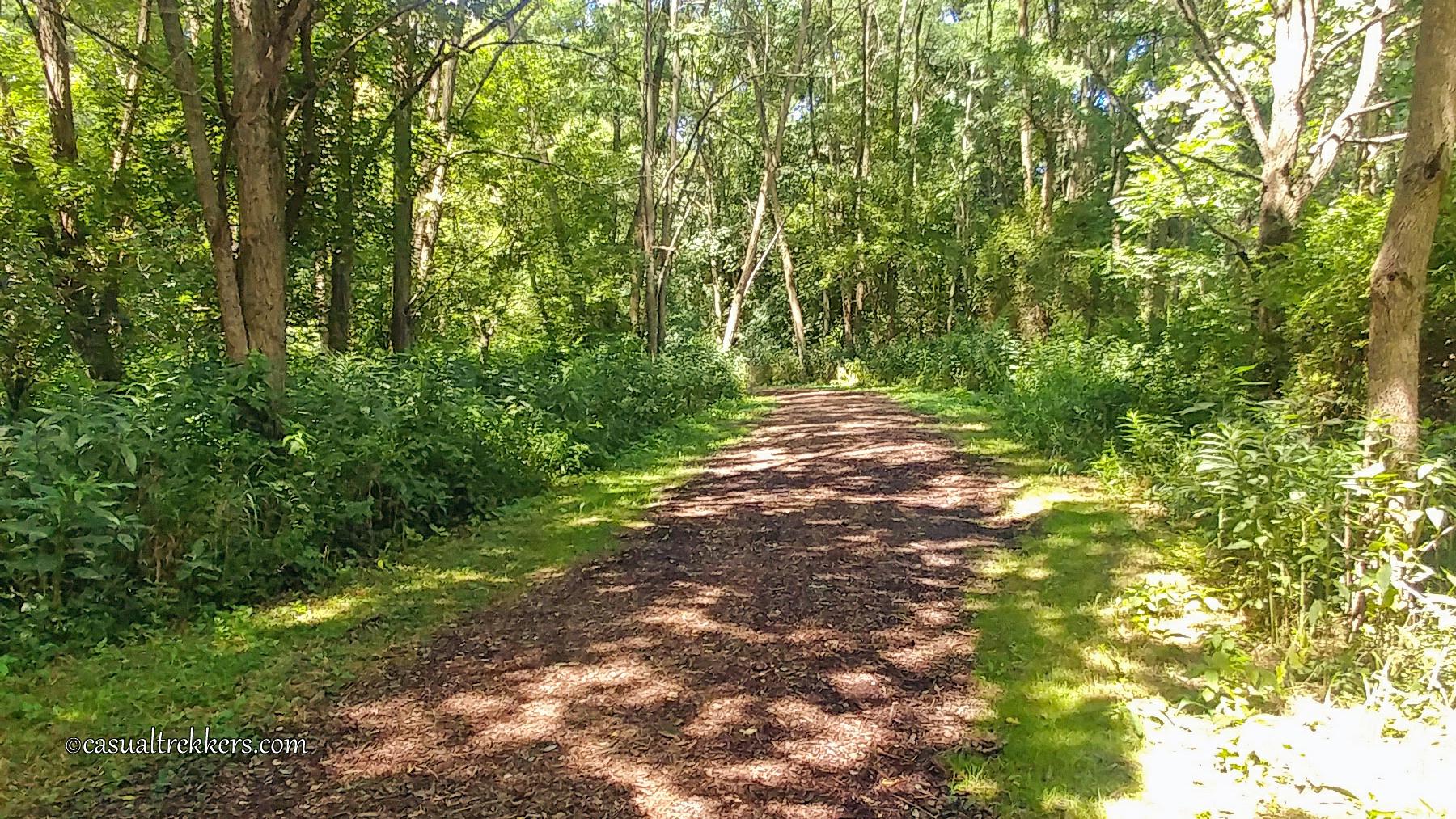
After a half mile you will connect to the Waterfall Loop Trail on the right side. The waterfall loop trail is not paved however it is well kept and mulched. Since this portion of the trail is mostly under the tree canopy be aware it can be a little damp in spots following recent rains.
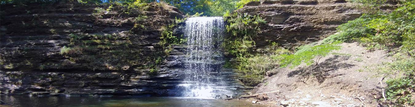
When you arrive near the falls you come across a few benches to sit and enjoy the falls. For those with mobility issues this, more than likely, is the closest you will get to the falls. Though the view is a bit obstructed from here you can still enjoy the view and relaxing sound of the falls.
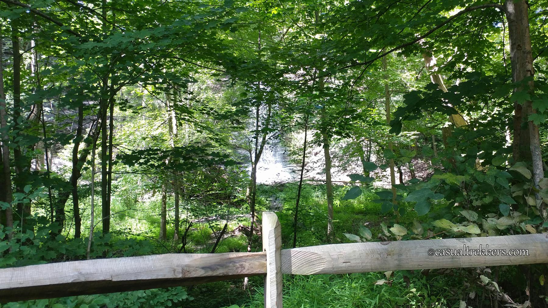
To get closer, several paths have been blazed to the small pond at the base of the falls which can be a bit slick. We did a quick check of the options available and selected a path that appeared to have the least risk of mud or slipping. We only had to tight rope our way across one log for a couple of steps to cross the water.
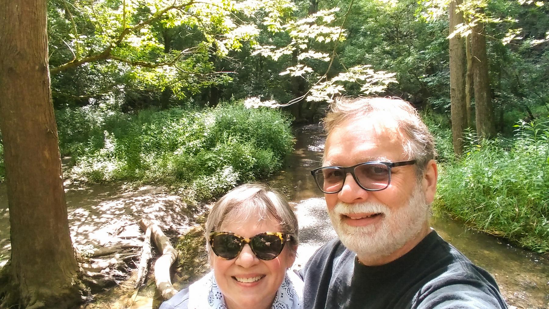
But even getting a little muddy would be worth the rewarding view at the end.

Video:
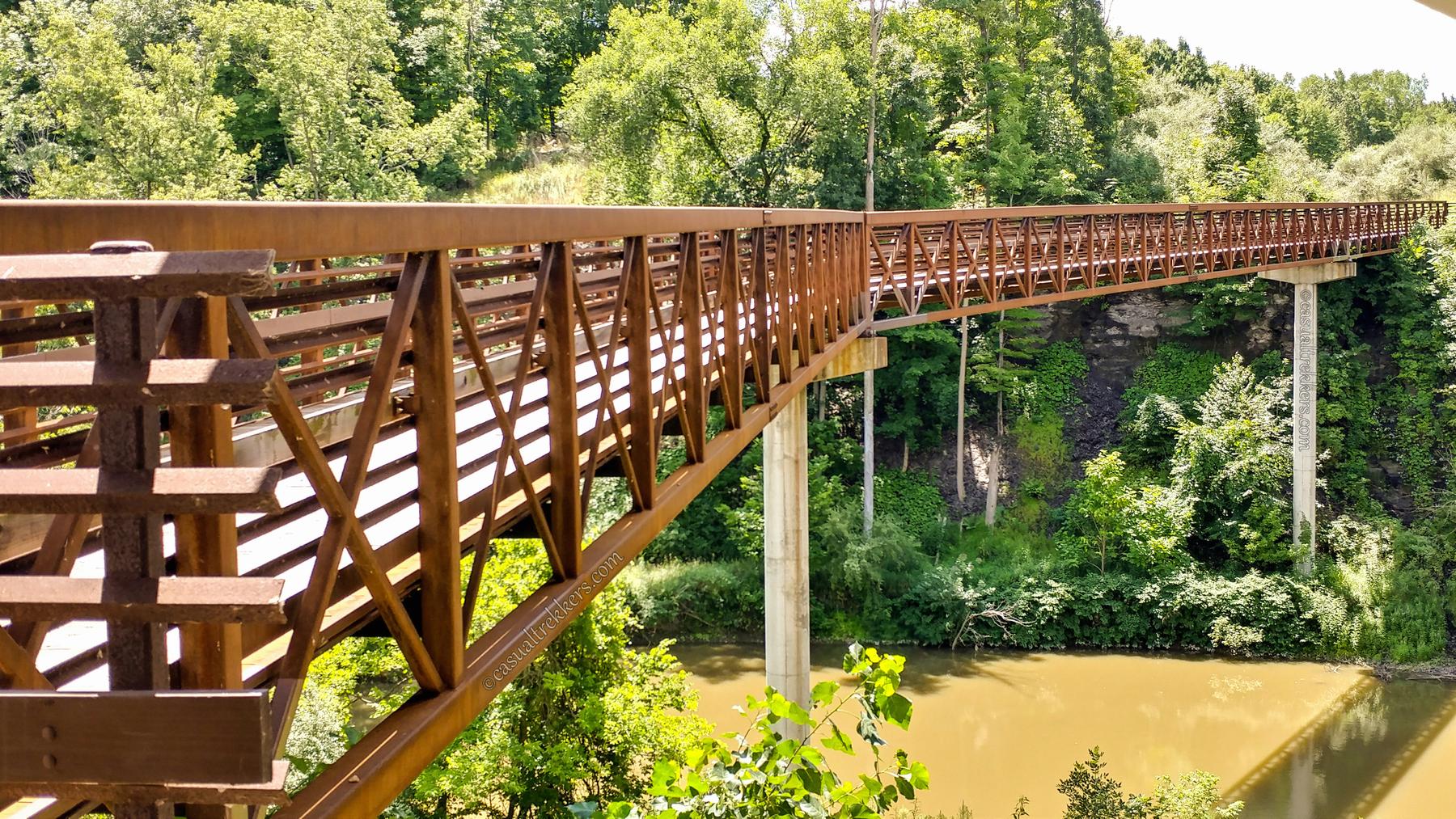
One of the highlights of the Bridgeway Trail is a 1,000 foot bridge that crosses the Black River twice. The bridge is located near the Bur Oak entrance.
For More Information:
For more information on Black Ridge Reservation and to download a trail map visit the Lorain County Metro Park site.
Location:
41°26’34.4″N 82°06’28.6″W
2996 E 31st St, Lorain, OH 44055