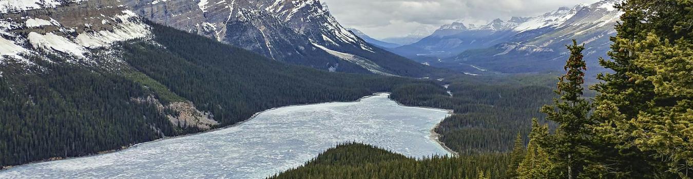
One of the most recognizable images of the Canadian Rockies is of Peyto Lake. Because of it’s easy access along the Icefields Parkway at Bow Summit and the fact that it is an easy family friendly hike you can expect it to be filled with summer visitors. If visiting during summer plan to arrive early or late so you miss the tour bus crowds, we visited in late May when the road to the upper parking area was still snow packed and closed.

Winter Access
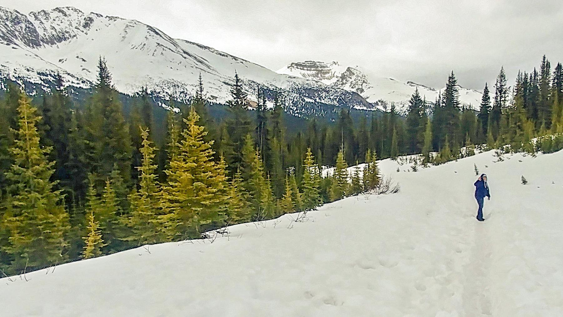
Even though the upper parking lot (for handicapped and passenger drop offs) is not accessible during winter you can still visit the viewing platforms. From the lower visitor parking area there is a short trail located near the restroom which connects to the road leading to the upper parking lot.
During our visit a narrow path through the snow had been created by previous visitors which made the trek a little easier, even though it was a bit slippery. Crampons or Yaktrax would have helped though we managed without incident. During winter you can expect this portion to take 20 – 30 minutes depending on the amount of snow.
Peyto Lake Viewpoint
The Peyto Lake viewing platform is accessed from a short paved trail to the right once you arrive at the upper parking lot.
The lake was still frozen during our visit but retained it’s notable blue color. The blue color is caused by fine grained powder of silt, or glacial flour, that is suspended in the lake as a result from the slow moving glaciers grinding and pulverizing rock on it’s way down the mountain.
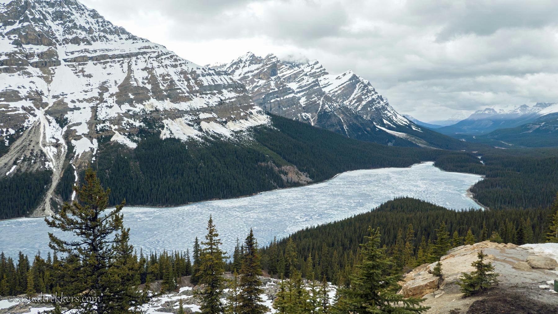
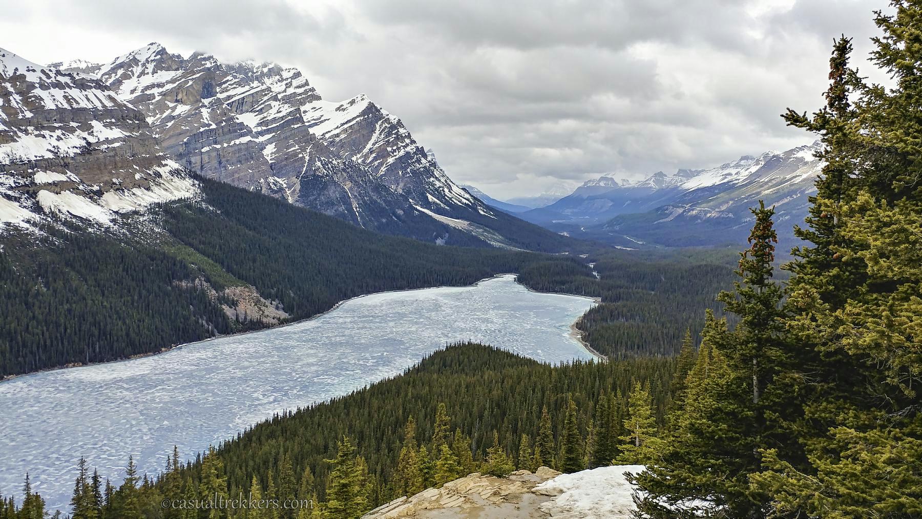
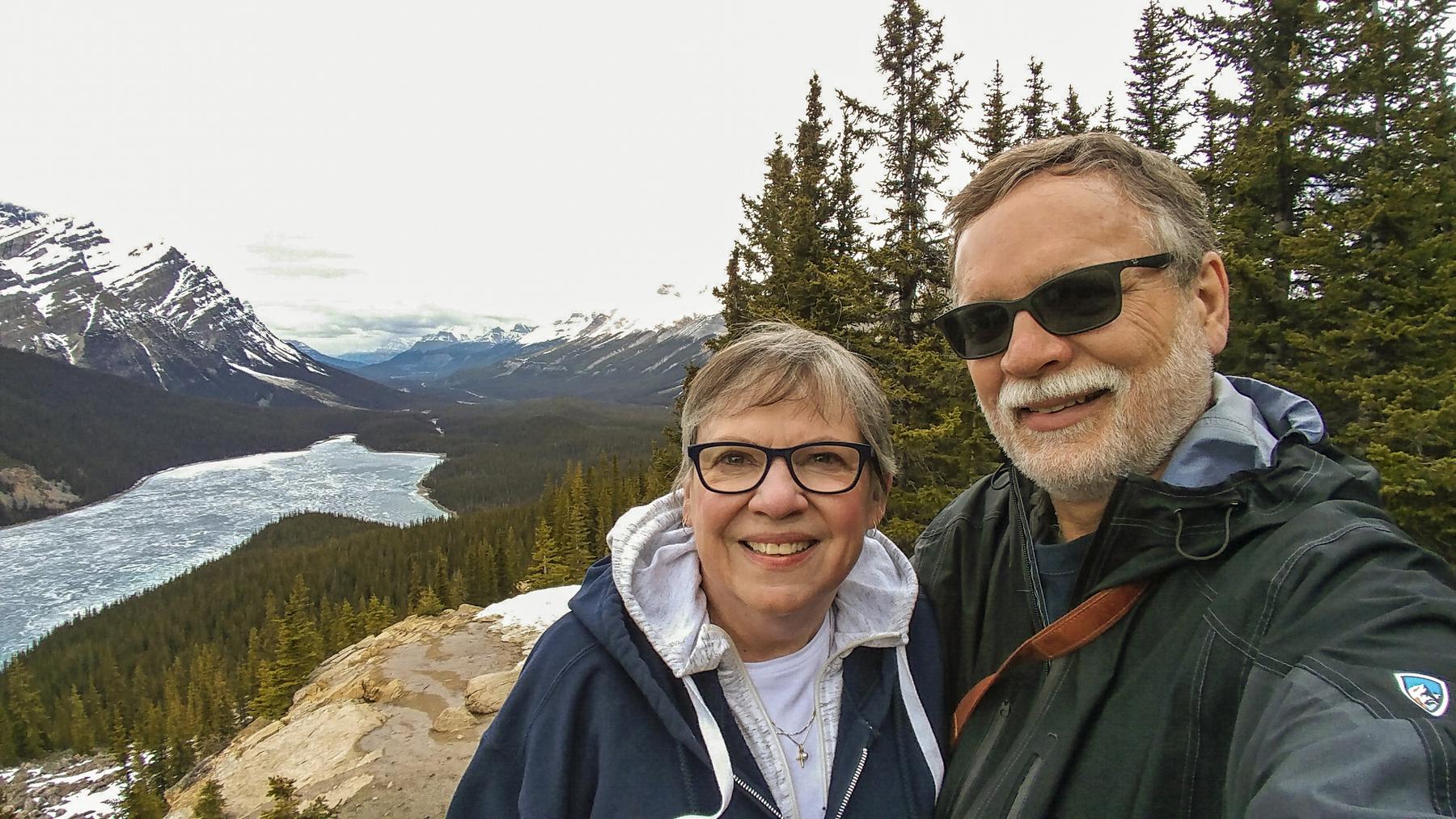
Peyto Lake Upper Viewpoint
There is another viewpoint with far fewer visitors located south of the lower overlook. Stay on the pathway past the viewing area until you come upon a sign with a map and additional information on the trail. The trail forks here with the trail to the left leading to the tour bus parking area.
You can reach the upper viewing area by choosing either of the paths in the middle or the one that leads to the right. These two trails are the beginning and end points of the same loop trail. If you head to the right counterclockwise you will reach the viewpoint quicker. The trail leads through the forest until you come across a narrower path to the right that will lead to the upper viewpoint.
Location:
The lookout is located about 25 miles (40 km) north of Lake Louise on the Trans Canada Hwy.
Related Posts