When exploring the Corner Brook area, we chose to stay just outside the city in Steady Brook. As we’ve found on many of our road trips, we tend to prefer staying a little outside the busier areas, where we can enjoy a quieter setting and be a little closer to nature.
Steady Brook turned out to be a great base for exploring this part of western Newfoundland. Steady Brook Falls was practically on our doorstep, while a scenic drive through Corner Brook and along Route 450—also known as Captain Cook’s Trail—took us along the south shore of the Bay of Islands toward Lark Harbour and one of the more unusual hikes of our Newfoundland road trip—the Cedar Cove Trail and the grounded MSC Baltic III.
Chasing the Power of Steady Brook Falls
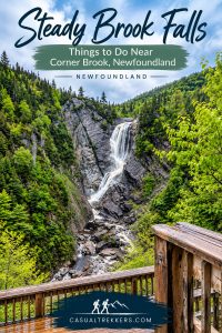
After a rainy morning, we figured Steady Brook Falls would be putting on a show—and it certainly didn’t disappoint. The extra rainfall meant the falls were flowing at full force, and the short hike to the viewing platform was well worth it.
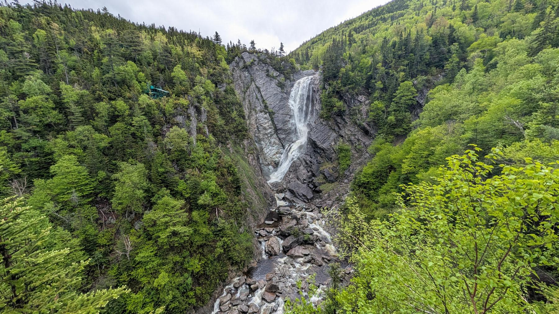
The trail to the viewing platform is about 1 mile round trip with around 300 feet of elevation gain. While it’s a relatively short hike, there are a few steeper sections along the way, along with plenty of exposed roots, so sturdy footwear is a good idea, particularly when the trail is wet.
Steady Brook Falls plunges nearly 200 feet through a narrow rock gorge, and we couldn’t have picked a better time to visit.
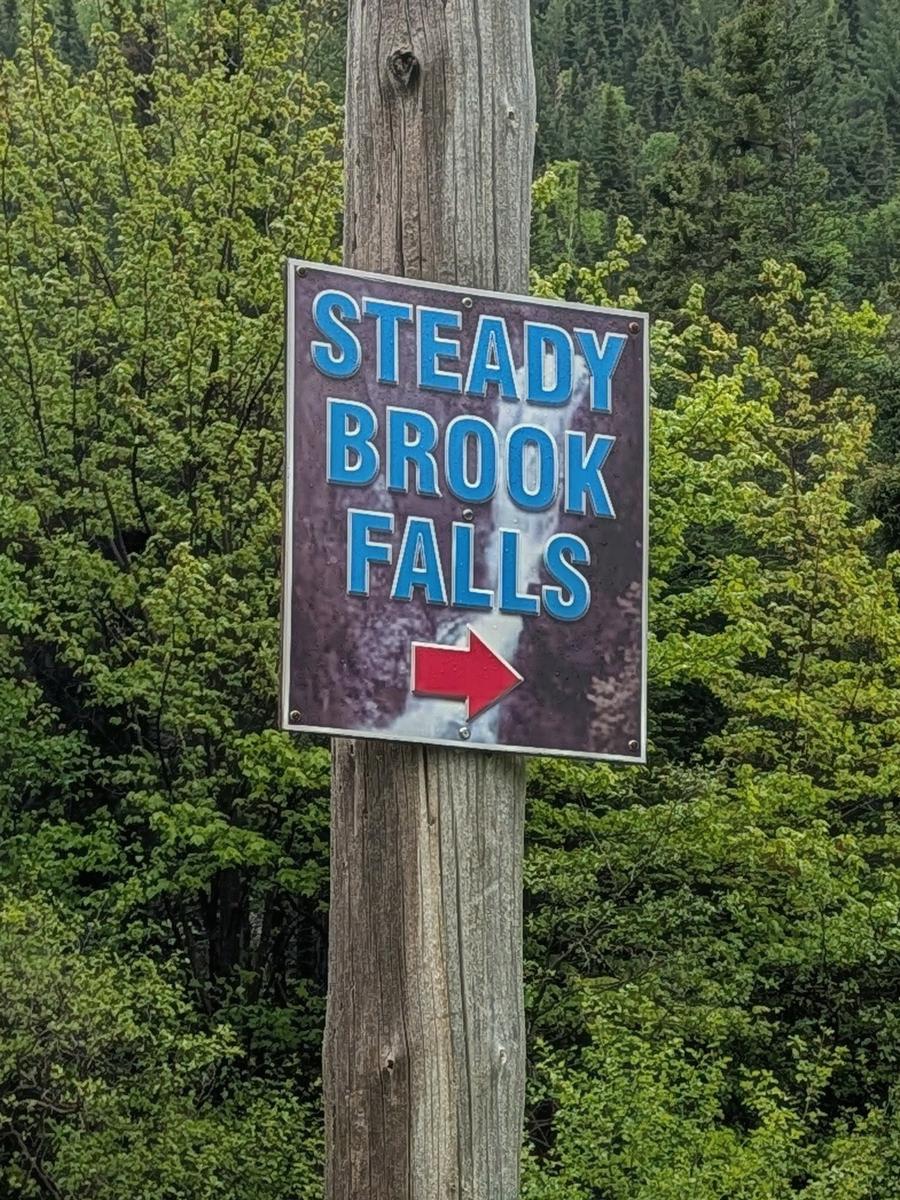
Steady Brook Falls Gallery:
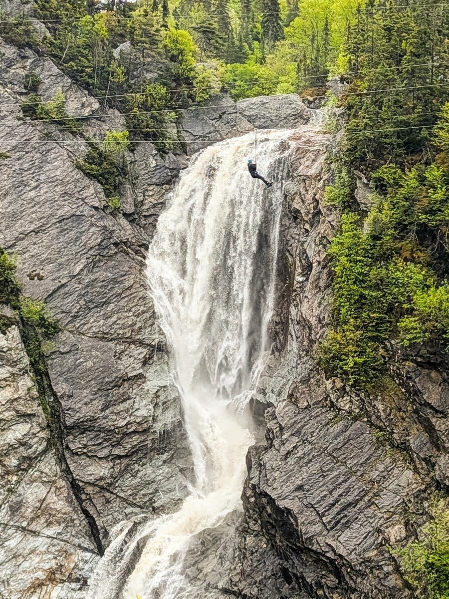
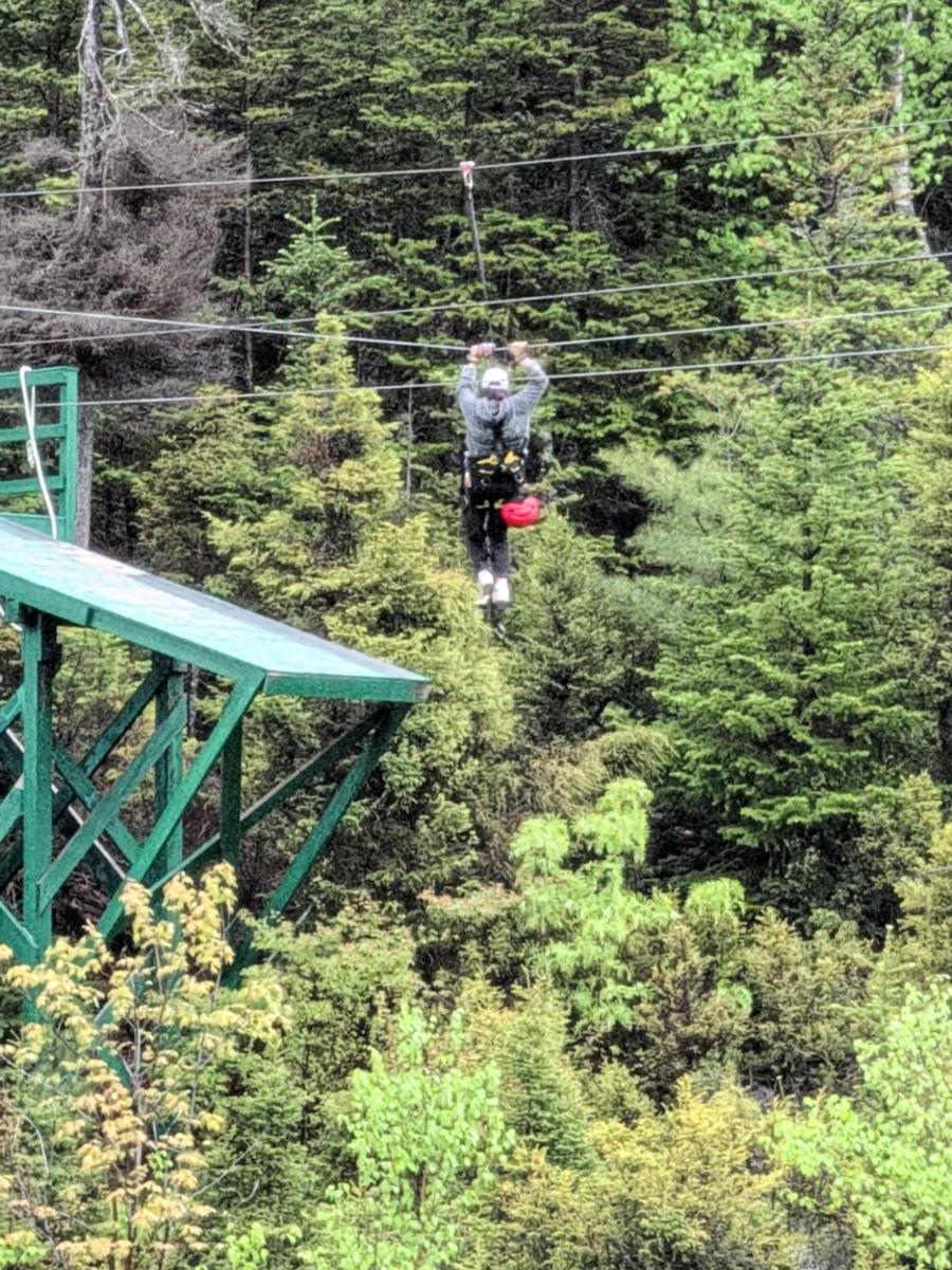
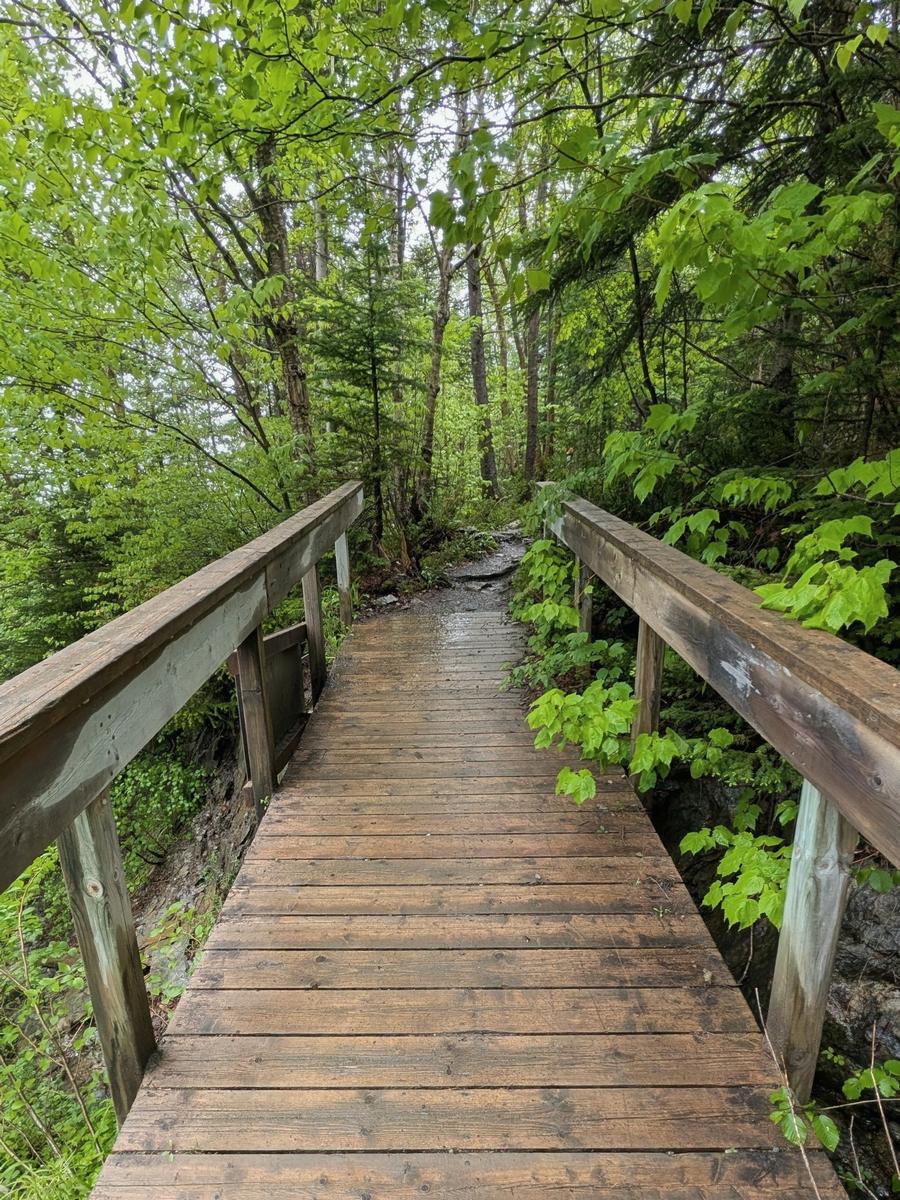
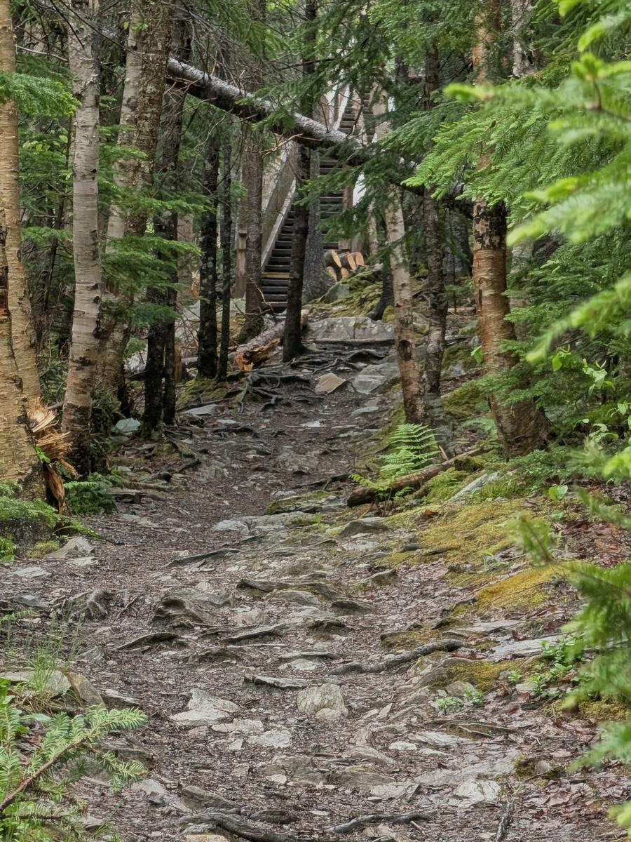
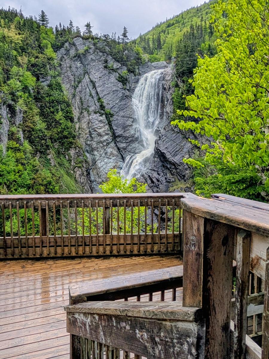
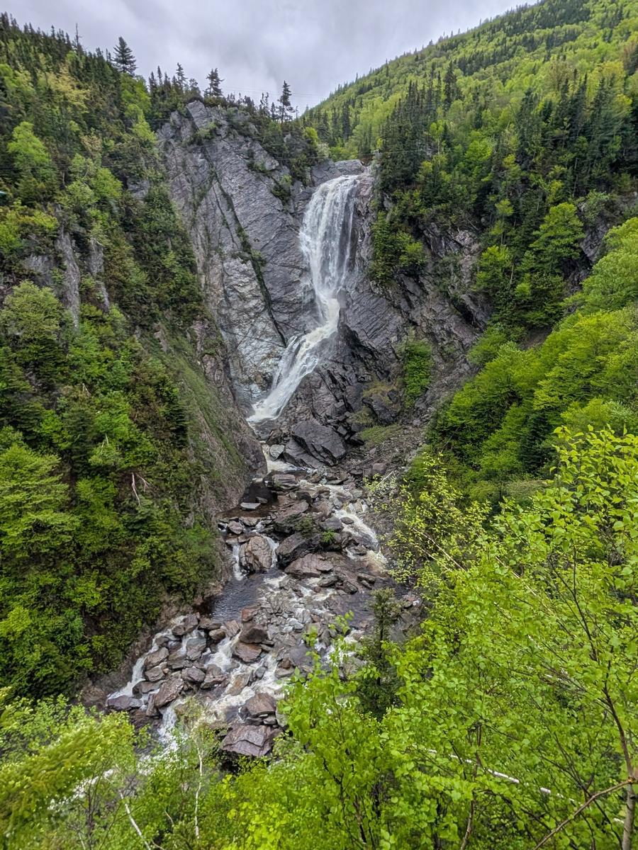
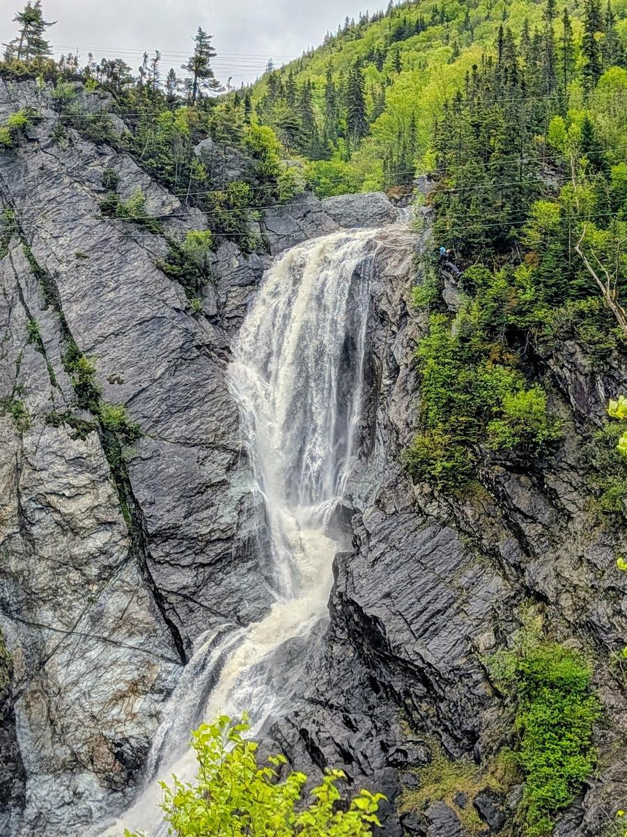
The zipline crossing above the falls really puts the scale into perspective—it’s easy to underestimate just how massive the waterfall is until you see someone suspended beside it. One zipliner stopped short of the landing platform and had to pull themselves the rest of the way hand over hand. Not the ending they were hoping for, but definitely one we won’t forget!
If you’re exploring western Newfoundland, Steady Brook Falls is an easy stop to include while visiting the Corner Brook area and was especially spectacular after a good rainfall.
Following Captain Cook’s Trail Toward Lark Harbour
 Another day took us through Corner Brook and onto Route 450, following Captain Cook’s Trail along the south shore of the Bay of Islands toward Lark Harbour. We didn’t make any sightseeing stops along the way, but the drive itself was beautiful and gave us another look at the rugged scenery that makes western Newfoundland such an enjoyable place to explore by road.
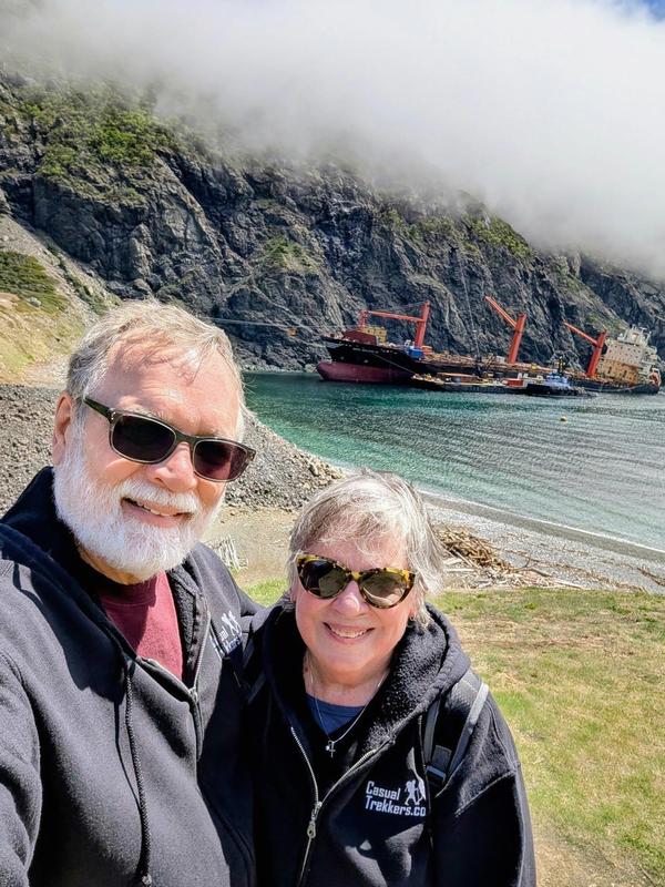
Our destination was Little Port and the Cedar Cove Trail, where we were hoping to see something you certainly don’t encounter on an everyday hike—a massive container ship grounded just offshore.
Hiking the Cedar Cove Trail
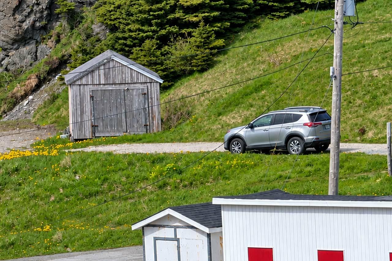
When we arrived at Little Port, we were a little confused about exactly where to park and where the trail began. There wasn’t an obvious parking area or trailhead that we could see. We ended up parking on a small gravel area along the road near a shed (49.106605, -58.420756), while several other vehicles were parked along the opposite side of the road. Fortunately, we ran into another couple who pointed us in the right direction.
Cedar Cove Parking and Trailhead
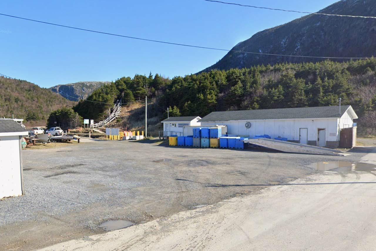
Once we found the trail, we started up a long staircase before reaching the junction for Cedar Cove or Little Port Head Lighthouse. From there, the trail included plenty of exposed tree roots, sections of boardwalk crossing wet areas, and a couple of steeper climbs where ropes had been installed to lend a helping hand.
Cedar Cove Trail Gallery:
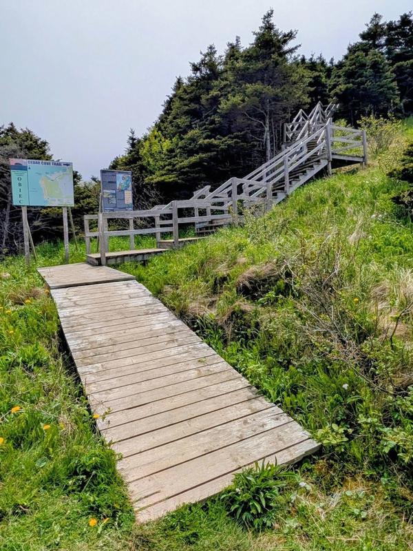
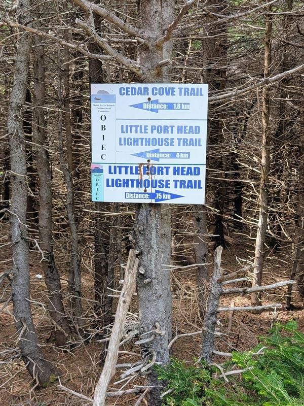
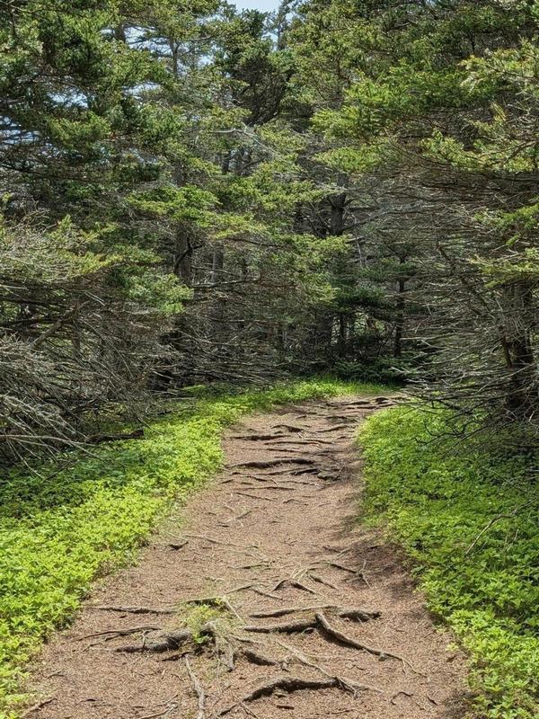
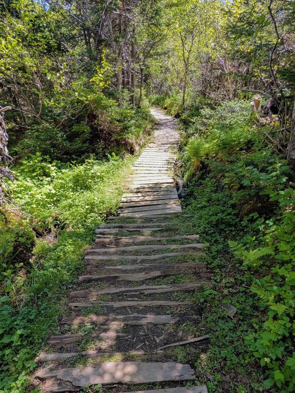
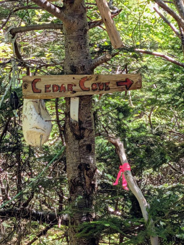
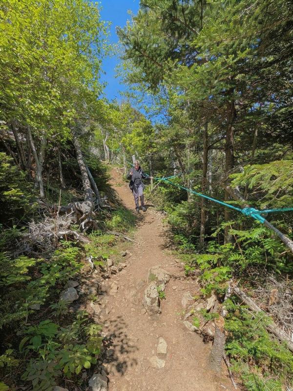
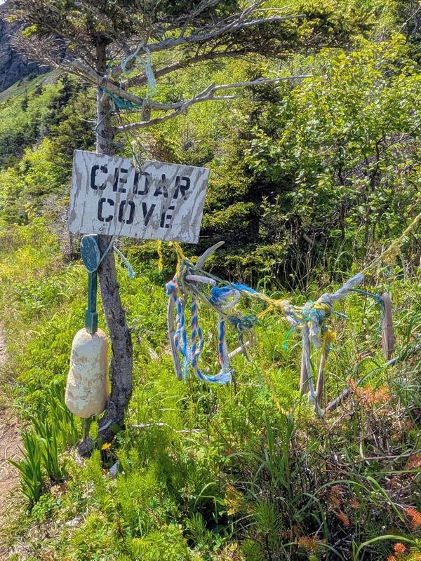
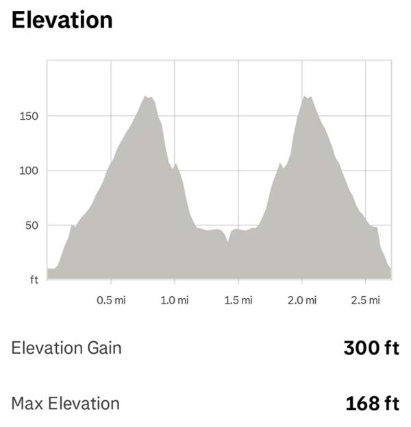 During our hike we recorded 2.71 miles round trip with about 300 feet of total elevation gain. Our moving time was about 1 hour 50 minutes, although we took our time along the trail and spent additional time at Cedar Cove. We’d rate it as an easy-to-moderate hike, with a few sections adding a little challenge along the way.
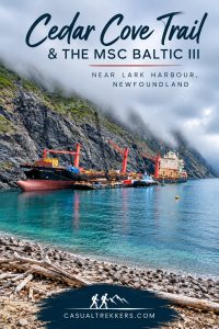
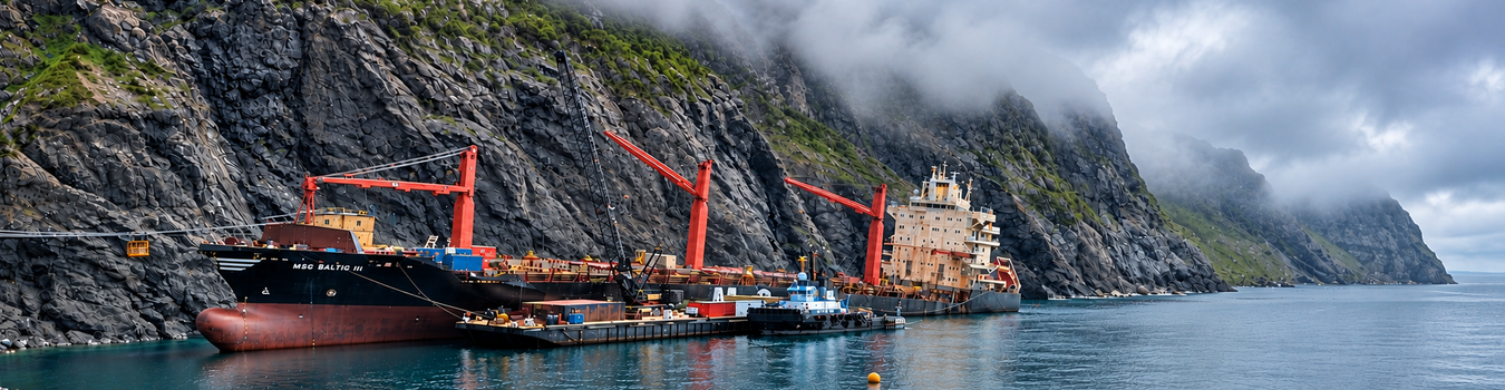
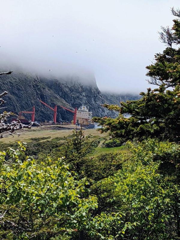
The hike itself is well worth it, ending at the waters of Cedar Cove. Seeing the MSC Baltic III resting just offshore made the destination even more unusual.
The Grounded MSC Baltic III
The 207-metre container ship ran aground on February 15, 2025, after losing power during a winter storm. Thankfully, everyone on board was rescued safely.
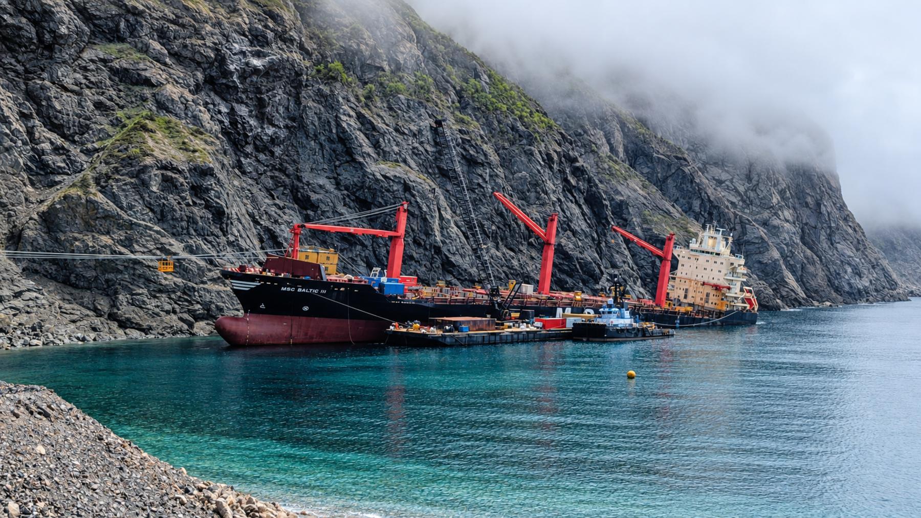
Seeing a ship of that size sitting just offshore made an already enjoyable hike something quite different from anything else we experienced during our Newfoundland road trip.
Since our visit, work has begun to dismantle and remove the vessel. As of September 2026, approximately 40 percent of the ship’s tonnage had been removed, with sections of the wreck being pulled toward shore, dismantled and transported for recycling. The removal operation is expected to continue into 2027.
The view we experienced from Cedar Cove is gradually changing, and eventually the MSC Baltic III will no longer be part of the landscape. Even without the ship, though, the Cedar Cove Trail is a beautiful hike with a rewarding destination. For us, seeing the MSC Baltic III was simply an unusual bonus along the way.
Lunch at Myrtles On The Bay
After the hike, we stopped for lunch at Myrtles On The Bay. The seafood chowder was outstanding, packed with fresh seafood, and included what were honestly the best mussels we’ve ever tasted.
It was a great way to wrap up our day exploring the Lark Harbour area.
Where We Stayed
For our time in the Corner Brook area, we stayed at Marblewood Village Resort in Steady Brook. The location suited the way we like to travel, giving us a quieter setting outside the city while still keeping us close to Corner Brook and the surrounding area.
With Steady Brook Falls just a short distance away, it was also a convenient base for our drive along Captain Cook’s Trail toward Lark Harbour and Cedar Cove.
Exploring the Corner Brook Area
Between the power of Steady Brook Falls, the scenic drive along the Bay of Islands and our hike to Cedar Cove, this part of western Newfoundland offered exactly the kind of exploring we enjoy—beautiful scenery, manageable hikes and plenty to discover along the way.
For us, staying just outside Corner Brook turned out to be a great way to experience this part of western Newfoundland, with plenty to explore without having to venture very far.
Planning a Trip to Western Newfoundland?
Save A Pin for Later: